[ad_1]

“We’re not done yet” with dangerous threats from Hurricane Laura, National Hurricane Center Director Ken Graham says.
NOAA/NESDIS/STAR GOES-East
hide caption
toggle caption
NOAA/NESDIS/STAR GOES-East

“We’re not done yet” with dangerous threats from Hurricane Laura, National Hurricane Center Director Ken Graham says.
NOAA/NESDIS/STAR GOES-East
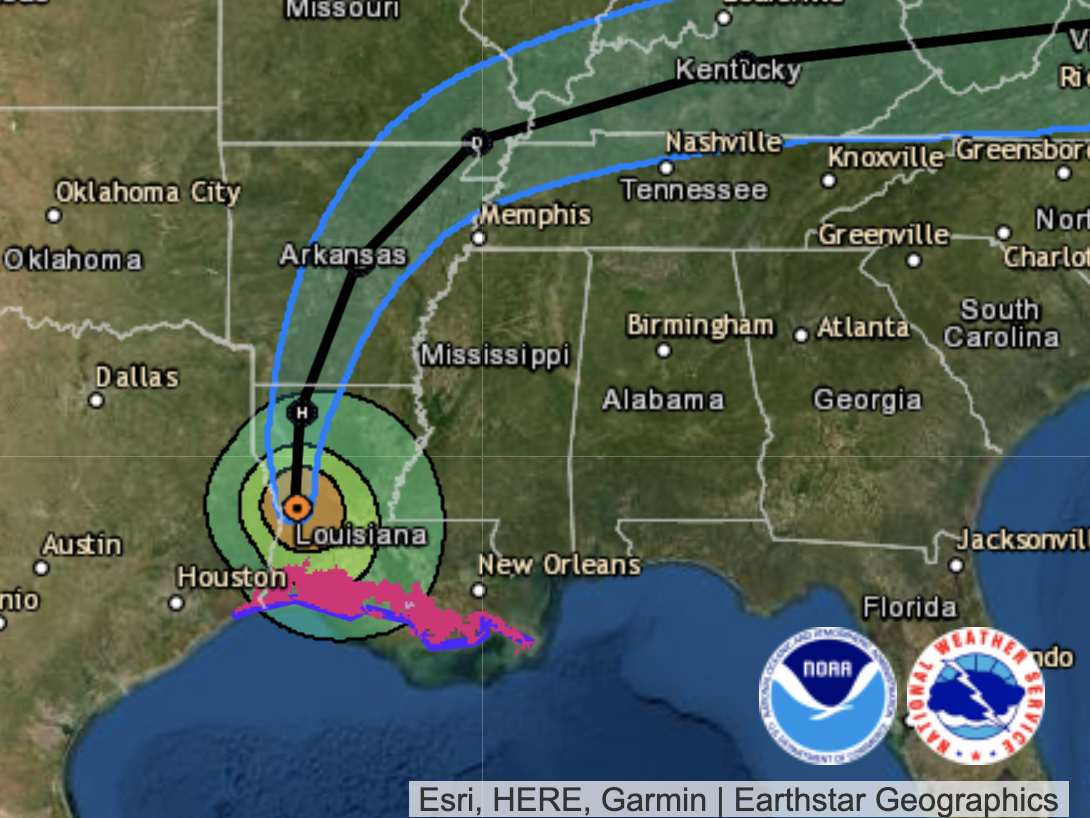
Hurricane Laura is diminishing – but it still has sustained winds of at least 100 mph, and it will remain a hurricane “near Shreveport, almost into Arkansas,” National Hurricane Center Director Ken Graham said in an update Thursday morning.
“Even if you’re well inland, you could still see some of these impacts because it can knock down the trees. You can see flash flooding and power outages throughout Louisiana, East Texas and even into Arkansas,” Graham said.
“We’re not done yet,” Graham said, noting that even though Laura is now far inland, the storm’s rain bands are still swirling in from as far back as the coast of Corpus Christi, Texas, with water from the Gulf of Mexico continuing to fuel torrential rains that could cause flooding far inland.
“That moisture will continue to stream in to these same areas with time,” Graham said, “so portions of Louisiana, East Texas, and eventually all this moisture continuing to move north, even into Arkansas.”
People living in Louisiana should expect to see 6 to 10 inches of rain – and maybe much more.
“I wouldn’t be surprised if some places get 12 inches of rain, maybe even 15 by the time it’s all said and done,” Graham said.
The actual size of Laura’s perilous storm surge – which forecasters had described as “unsurvivable,” with massive waves causing significant damage from Sea Rim State Park in Texas to Intracoastal City, La. – is still being measured, Graham said. But he added that readings of 11 feet of water have already come in.
Thanks to strong winds coming in from the southwest, the surge of water is still being held in coastal areas such as Cameron Parish, where Laura made landfall. And water is still being pushed ashore, Graham said.
[ad_2]
Source link